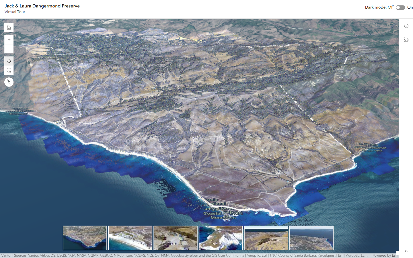
The Dangermond Preserve Virtual Tour is an interactive environmental digital twin of the Jack and Laura Dangermond Preserve on the California coast. Visitors can explore the terrain, coastline and nearshore waters in 3D, and follow guided tours to different parts of the preserve.
Driving Through the Scene
The core of the app is the tour playback. Two scene views are kept in sync: the main map shows the path of the tour, and a panel shows the view from the path, like a video player. The app steps along the path and points the camera in the direction the path is facing, so the tour plays back as if you were driving through the preserve. Visitors can play, step back and forward, and change the playback speed.
Technology
- ArcGIS Maps SDK for JavaScript: the 3D scenes and camera control that drive the tours.
- React: application structure and UI, with light and dark themes.
About the GeoXC Labs
This app is one of the demos I maintain for Esri’s GeoXC team. See the GeoXC Labs Gallery for the rest.